Livingston, located at the
mouth of the Rio Dulce, is where we have to check into Guatemala.
Although Livingston
is only a mile from the buoy marking the channel entrance, it is protected
by an ever-changing bar at the mouth of the river.
At Placentia
I had gotten waypoints (latitude and longitude) from a cruiser who had just
departed Livingston.
These, of course, are not the same as those in the Cruising Guide.
These waypoints are now in my computer and I feel better about
crossing the bar. But soon
after passing the mid-channel buoy my depth sounder is showing 7 feet, then
6 feet.
Sirius II draws 5.5 feet of
water. The prop stirs up
mud. I am nervous!
Very nervous. I let the
boat drift in the current for a moment while I look around.
That’s when we notice a Guatemalan navy patrol boat
working its way across the bar toward Livingston.
She is not on the same course as I am. The vessel seems to be
following a series of black buoys.
These are not even on my chart nor mentioned in the guide book.
I’m no dummy. I steer
toward the black buoys, keeping one eye on the depth sounder.
Thirty minutes later I anchor off the dock in front of
immigration and proceed to prepare the dinghy to go ashore to obtain
clearance. But within minutes a
launch approaches with immigration officials.
No doubt they are responding to the yellow quarantine flag that we
raised before proceeding past the entrance buoy.
We are invited to bring our paperwork and ride into town with them.
(The fee for the launch is, of course, added into the other landing
fees.)
We soon find that checking into Guatemala is just as difficult as
crossing the bar to enter Livingston.
Americans, and Canadians, with valid passports can travel anywhere
throughout Latin America
and the Caribbean.
The one exception for US citizens is the travel ban to Cuba, that
bastion of military might and economic strength, travel to which could
threatened the economic stability of the entire region!
Carmen travels on a passport from her native country, the Dominican Republic.
Mexico was not a problem for her, as
she has been living there for over a year.
Neither was Belize.
But Guatemala is; she cannot enter the
country without a visa issued by her country or one of its consulates!
The closest Dominican consulate is Belize.
Immigration officials allow us to return to the
Sirius II and
take her to a run down marina about a mile upstream—the only marina in
the Livingston area—where I manage to get
the dinghy tow line caught in the propeller.
We arrange for a water taxi to pick us up the next morning
to take us back to Punta Gorda,
Belize.
Fortunately, these officials recognize our plight and don’t charge us
reentry fees (nor exit fees later).
From here we take a bus—which breaks down en route—to Belize City,
spend the night in a hotel and are camped in front of the locked gate of the
Dominican consulate by 8:00 the next morning, an hour before the consular
shows up. After getting the visa, we retrace our steps, find our water taxi
waiting for us the next morning, and back to Livingston—all
in the daily activities of cruising.
Water taxi along the Rio Dulce,
Guatemala
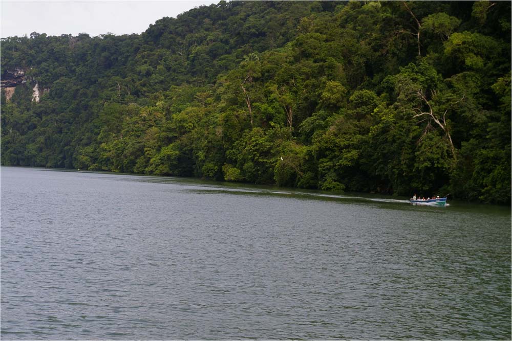
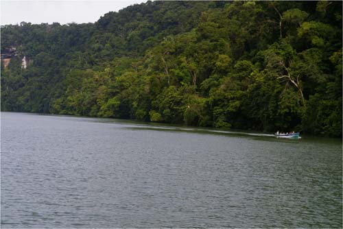
The 16 mile trip upstream on the Rio Dulce is a delightful
change from what we have experienced so far.
Lime stone and steep, tree-covered cliffs come down 300 feet to the
river’s edge. The river depth varies from a few feet to over 80 feet, so we
are constantly vigilant. We see
fishing boats powered by outboards in the river; just as common are the
dugout canoes propelled smartly through the water with handmade oars.
We see many water taxis as well, as this is the only way to approach
Livingston from Fronteras, where we are headed.
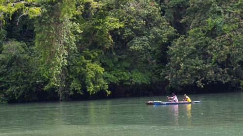
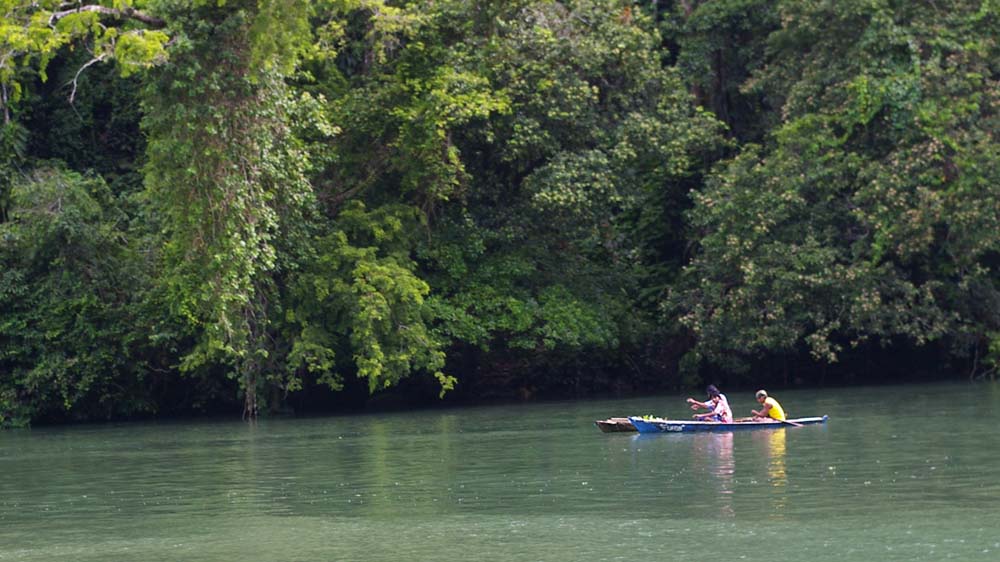
Guatemalans fishing the Rio Dulce
Thirty years ago Fronteras was just a sleepy little
village, home for a local bus stop and a smattering of markets and
tiendas.
The completion of the 90-feet high
Rio
Dulce Bridge
in 1980 almost overnight transformed Fronteras’ main street into a national
highway. And over the past
several years more and more American, Canadian, European and
Caribbean
boats have come to recognize that this spot on the river is a safe and
secure hurricane hole. There are now
well over a dozen marinas, more restaurants than you can count, two more bus
stations connecting Fronteras by express bus to Quatemala City (the City)
and the outside world, and many fruit and vegetable markets encroaching onto
the highway, often reducing it to a snarling one-way lane.
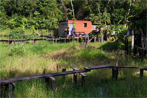
Paying the fee to use the catwalk at La Hoya del Rio
Our destination takes us underneath the bridge for about a ¼ mile to
Suzanna’s Laguana, now called La Hoya del Rio.
It’s a marina in a lagoon along the Rio Dulce.
A very quiet, private, well-protected marina.
The only contact with the rest of the community is by dinghy or a
cat-walk across a swamp (for a price of 5 quetzales, about 60 cents),
then walk across the bridge to Fronteras.
Now I have to make a decision:
1)proceed to Honduras and Panama with only
one solar panel to keep the batteries charged and an auto steering system
with a cracked motor casing and held together by duct tape.
This passage is about 800 nm with
only two convenient stops. Or
2)leave the Sirius II here and
return to United States
to get the parts I need. For
solo sailing, a dependable auto steering and an extra solar panel are almost
necessities. Hence, I decide to
return to Key West,
via Mexico
where Carmen will stay in Los
Mochis
with her family. We leave the
Rio Dulce on August 21 by bus for
Quatemala
City.
(For a recap of my land trips, and a sad story about
the corruption of the Mexican police, see
Appendix 1.
Also Appendix 2 has
follow up letters I sent to Mexican government officials.)